
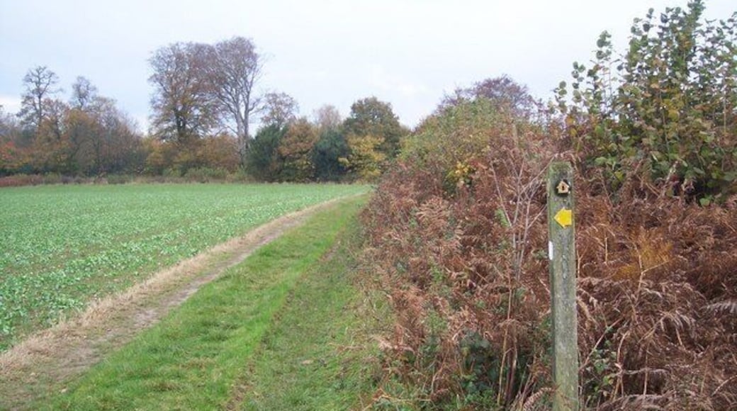
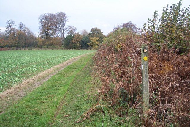
น็อคโฮลท์
เซเวโนคส์


เที่ยว น็อคโฮลท์
โรงแรมยอดนิยมใน น็อคโฮลท์

อาเธอร์วอนเดอร์ โซโห โพด โรงแรม (สำหรับผู้ใหญ่เท่านั้น)
91-92 Dean Street London England
ราคา ฿3,335 ต่อคืน เข้าพัก 16 ส.ค. ถึง 17 ส.ค.
฿3,335
ราคารวม ฿4,002
16 ส.ค. - 17 ส.ค.
รวมภาษีและค่าธรรมเนียม
เมื่อเดินทางไป ลอนดอน แล้วเข้าพักที่โรงแรมแห่งนี้ คุณจะได้เพลิดเพลินกับสิ่งอำนวยความสะดวก/ไฮไลท์ เช่น Wi-Fi ฟรี, ฝักบัวสายฝน และ เครื่องควบคุมอุณหภูมิ ที่เที่ยวยอดนิยมในบริเวณใกล้เคียง ...

เอแอนด์โอ ลอนดอน ด็อกแลนด์ส ริเวอร์ไซด์
265 Rotherhithe Street London England
ราคา ฿2,919 ต่อคืน เข้าพัก 9 ส.ค. ถึง 10 ส.ค.
฿2,919
ราคารวม ฿3,503
9 ส.ค. - 10 ส.ค.
รวมภาษีและค่าธรรมเนียม
เมื่อเดินทางไป ลอนดอน แล้วเข้าพักที่โฮสเทลแห่งนี้ คุณจะได้เพลิดเพลินกับสิ่งอำนวยความสะดวก/ไฮไลท์ เช่น Wi-Fi ฟรี, 2 บาร์/เลานจ์ และ อาหารเช้า ผู้เข้าพักที่จองกับเรารีวิวว่าชอบอาหารเช้าและพนักงานเป็นพิเศษ ...
8/10 ดีมาก! (1,000 รีวิว)
"Well, we chose this hotel because it’s conveniently located near the ferry, waterfront, and another side of London. Unlike typical hostels, we were given our own room. The room was comfortable, but the bed had a spiral mattress instead of a foam mattress, which we’ve never had since childhood. The ..."
รีวิวเมื่อ 29 ก.ค. 2026

สตรานด์ พาเลซ โรงแรม
372 The Strand London England
ขอเงินคืนได้เต็มจำนวนจองตอนนี้ จ่ายเมื่อเข้าพัก
ราคา ฿6,540 ต่อคืน เข้าพัก 30 ส.ค. ถึง 31 ส.ค.
฿6,540
ราคารวม ฿7,848
30 ส.ค. - 31 ส.ค.
รวมภาษีและค่าธรรมเนียม
เมื่อเดินทางไป ลอนดอน แล้วเข้าพักที่โรงแรมแห่งนี้ คุณจะได้เพลิดเพลินกับสิ่งอำนวยความสะดวก/ไฮไลท์ เช่น Wi-Fi ฟรี, อาหารเช้า และ รูมเซอร์วิส ผู้เข้าพักที่จองกับเรารีวิวว่าชอบอาหารเช้าและร้านอาหารเป็นพิเศษ ...

พาร์ค พลาซ่า ลอนดอน เวสต์มินสเตอร์ บริดจ์
200 Westminster Bridge Road London England
ราคา ฿8,035 ต่อคืน เข้าพัก 23 ส.ค. ถึง 24 ส.ค.
฿8,035
ราคารวม ฿9,642
23 ส.ค. - 24 ส.ค.
รวมภาษีและค่าธรรมเนียม
เมื่อเดินทางไป ลอนดอน แล้วเข้าพักที่โรงแรมสปา แห่งนี้ คุณจะได้เพลิดเพลินกับสิ่งอำนวยความสะดวก/ไฮไลท์ เช่น บริการสปาครบวงจร, 2 ห้องอาหาร และ อาหารเช้า ผู้เข้าพักที่จองกับเรารีวิวว่าชอบพนักงานและความสะอาดของห้องพักเป็นพิเศษ ...
9/10 วิเศษ! (6,088 รีวิว)
Very nice staff
"The receptionist name "Aylin" very very kind and helpful. She is a first impression for the first day of my UK trips. The room is very clean , good bathtub , big ben view in my room so good (Room type : Suite with bigben view). If you need anyhelp or anything i phone called and all of the staff help ..."
รีวิวเมื่อ 12 ก.พ. 2024

โรงแรม STG ลอนดอน ออกซ์ฟอร์ด สตรีท
Bedford Avenue London England
ราคา ฿3,513 ต่อคืน เข้าพัก 23 ส.ค. ถึง 24 ส.ค.
฿3,513
ราคารวม ฿4,215
23 ส.ค. - 24 ส.ค.
รวมภาษีและค่าธรรมเนียม
เมื่อเดินทางไป ลอนดอน แล้วเข้าพักที่โรงแรมแห่งนี้ คุณจะได้เพลิดเพลินกับสิ่งอำนวยความสะดวก/ไฮไลท์ เช่น Wi-Fi ฟรี, 2 ห้องอาหาร และ อาหารเช้า ผู้เข้าพักที่จองกับเรารีวิวว่าชอบอาหารเช้าและพนักงานเป็นพิเศษ ...
7.6/10 ดี! (3,958 รีวิว)
"The St Giles has undergone a drastic transformation under new ownership, and unfortunately, it’s all at the guest's expense. The once-standard amenities are gone: no in-room tea or coffee, and even basic towels are no longer a guarantee. To top it off, they are now charging a staggering £10 per item ..."
รีวิวเมื่อ 12 ก.พ. 2026

เดอะ ทาวเวอร์ โรงแรม บาย ธิสเทิล
St Katharine's Way London England
ราคา ฿5,568 ต่อคืน เข้าพัก 2 ส.ค. ถึง 3 ส.ค.
฿5,568
ราคารวม ฿6,682
2 ส.ค. - 3 ส.ค.
รวมภาษีและค่าธรรมเนียม
เมื่อเดินทางไป ลอนดอน แล้วเข้าพักที่โรงแรมธุรกิจ แห่งนี้ คุณจะได้เพลิดเพลินกับสิ่งอำนวยความสะดวก/ไฮไลท์ เช่น Wi-Fi ฟรี, 2 ห้องอาหาร และ 2 บาร์/เลานจ์ ผู้เข้าพักที่จองกับเรารีวิวว่าชอบอาหารเช้าและร้านอาหารเป็นพิเศษ ...
8.4/10 ดีมาก! (10,382 รีวิว)
"Habitación limpia y personal muy amable"
รีวิวเมื่อ 29 ก.ค. 2026
ราคาต่อคืนที่ถูกที่สุดที่พบใน 24 ชั่วโมงที่ผ่านมา อ้างอิงจากการเข้าพัก 1 คืน ผู้เข้าพัก 2 คน ราคาและจำนวนห้องพักว่างอาจมีการเปลี่ยนแปลง อาจมีข้อกำหนดเพิ่มเติม
ย่านน่าพักใน น็อคโฮลท์
ค้นหาย่านและละแวกใกล้เคียง น็อคโฮลท์ ที่ดีที่สุดสำหรับกิจกรรมที่คุณชื่นชอบ
ภาพโดย Ian Capper
ภาพสาธารณะโดย Ian Capper


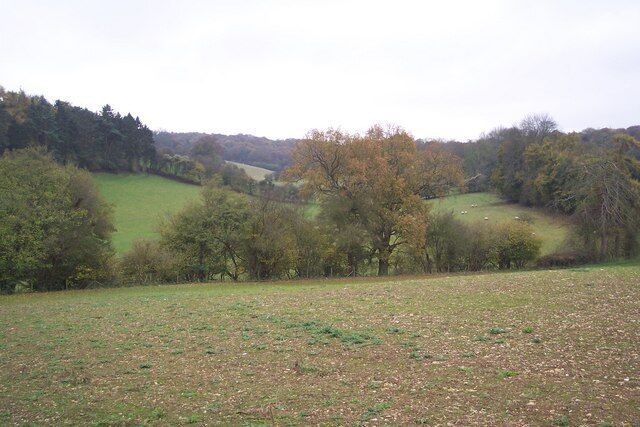
ฮาลสเตด
ถ้าได้มา ฮาลสเตด ต้องไม่พลาดแหล่งท่องเที่ยวยอดนิยมอย่าง เคนต์ ดาวน์ส และ The Reef Hideaway

