
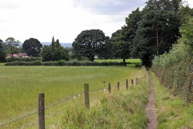
เกรทเอย์ตัน
คู่มือท่องเที่ยว


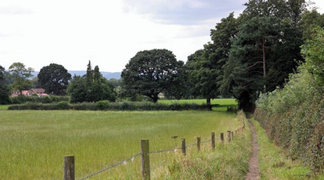
เที่ยว เกรทเอย์ตัน

รอยัล วิทบี
"The hotel is being totally refurbished and yet all of he staff are helpful and very friendly."
รีวิวเมื่อ 23 มิ.ย. 2026

โรงแรมโกลเด้นฟลีซ, ทิสค์, นอร์ทยอร์คเชียร์
"Great. Easy to park. Lovely rooms"
รีวิวเมื่อ 21 มิ.ย. 2026

โรงแรมเลโอนาร์โด มิดเดิลสโบร
"Everything regarding the hotel was spot on"
รีวิวเมื่อ 19 มิ.ย. 2026

สเตชัน สวีทส์
"Lovely room and really friendly staff food was basic but nice"
รีวิวเมื่อ 10 มิ.ย. 2026

โคสเตย์ส อพาร์ตโฮเทล - มิดเดิลสโบรห์
"Very impressive amenities and so clean with a huge comfortable bed."
รีวิวเมื่อ 12 พ.ค. 2026

อพาร์ทเมนท์หรู วิตบี้ บริดจ์
"Lastminute and this amazing place to stay. Literally on Whitby Bridge so close to everything. Parking very close by. Very clean, very warm considering it was freezing outside. Will be back ⭐️⭐️⭐️⭐️⭐️"
รีวิวเมื่อ 1 มี.ค. 2026
สถานที่ยอดนิยม

โรสเบอร์รี่ท็อปปิ้ง
คุณก็เรียนรู้ประวัติศาสตร์ของ เกรทเอย์ตัน ได้ เพียงเดินทางไป โรสเบอร์รี่ท็อปปิ้ง มาที่นี่แล้วไปเดินชมอุทยานธรรมชาติดูสิ
มหาวิทยาลัยทีสไซด์
ชมบรรยากาศมหาวิทยาลัยชั้นนำได้ที่ มหาวิทยาลัยทีสไซด์ เมื่อมีทริปไป มิดเดิลส์เบรอ ร่วมเชียร์กีฬาได้ในย่านที่เหมาะกับการเดินเล่นแห่งนี้
สะพานข้ามฟากมิดเดิลส์เบรอ
เพราะ มิดเดิลส์เบรอ มีจุดหมายปลายทางน่าไปเยือนมากมาย ถ้าได้ไป สะพานข้ามฟากมิดเดิลส์เบรอ ก็แนะนำให้ไปชมที่อื่นๆ ให้ได้ด้วย ร่วมเชียร์กีฬาได้ในย่านที่เหมาะกับการเดินเล่นแห่งนี้
โรงพยาบาลมหาวิทยาลัยเจมส์ คุก
ตามฝันมา โรงพยาบาลมหาวิทยาลัยเจมส์ คุก เมื่อไหร่ อย่าลืมไปรอบๆ มิดเดิลส์เบรอ ด้วย
Teesside Autodrome
Teesside Autodrome, มิดเดิลส์เบรอ เป็นที่เที่ยวที่ใครก็ต้องประทับใจ ลิ้มรสความอร่อยตามบาร์น่านั่งและร้านอาหารชั้นนำได้ในย่านนี้
สนามกีฬา Riverside
ร่วมงานอีเว้นท์ที่ สนามกีฬา Riverside เมื่อมีทริปไป มิดเดิลส์เบรอ ร่วมเชียร์กีฬาได้ในย่านที่เหมาะกับการเดินเล่นแห่งนี้


