
Chelmorton
คู่มือท่องเที่ยว
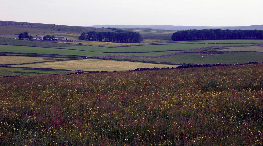


เที่ยว Chelmorton

Village Hotel Manchester Hyde
Captain Clarke Road Hyde England
ราคา ฿2,207 ต่อคืน เข้าพัก 30 ก.ค. ถึง 31 ก.ค.
฿2,207
ราคารวม ฿2,649
30 ก.ค. - 31 ก.ค.
รวมภาษีและค่าธรรมเนียม
เมื่อเดินทางไป ไฮด์ แล้วเข้าพักที่โรงแรมธุรกิจ แห่งนี้ คุณจะได้เพลิดเพลินกับสิ่งอำนวยความส�ะดวก/ไฮไลท์ เช่น Wi-Fi ฟรี, อาหารเช้า และ รูมเซอร์วิส ผู้เข้าพักที่จองกับเรารีวิวว่าชอบพนักงานเป็นพิเศษ ...

โรงแรมและสปาชริเกลีย์ฮอลล์
Pott Shrigley Macclesfield England
ราคา ฿2,666 ต่อคืน เข้าพัก 16 ส.ค. ถึง 17 ส.ค.
฿2,666
ราคารวม ฿3,199
16 ส.ค. - 17 ส.ค.
รวมภาษีและค่าธรรมเนียม
เมื่อเดินทางไป MacClesfield แล้วเข้�าพักที่โรงแรมสปา แห่งนี้ คุณจะได้เพลิดเพลินกับสิ่งอำนวยความสะดวก/ไฮไลท์ เช่น Wi-Fi ฟรี, ที่จอดรถฟรี และ บริการสปาครบวงจร ผู้เข้าพักที่จองกับเรารีวิวว่าชอบอาหารเช้าและพนักงานเป็นพิเศษ ...
7/10 ดี! (1,005 รีวิว)
"Staff very helpful and polite, Aemond was fantastic looking after all the wedding guests. Had a lovely 2 days, thank you,"
รีวิวเมื่อ 26 ก.ค. 2026

บักซ์ตัน เครสเซนต์
The Crescent Buxton England
ราคา ฿6,398 ต่อคืน เข้าพัก 29 ก.ค. ถึง 30 ก.ค.
฿6,398
ราคารวม ฿7,677
29 ก.ค. - 30 ก.ค.
รวมภาษีและค่าธรรมเนียม
เมื่อเดินทางไป บักซ์ตัน แล้วเข้าพักที่โรงแรมหรู แห่งนี้ คุณจะได้เพลิดเพ��ลินกับสิ่งอำนวยความสะดวก/ไฮไลท์ เช่น อาหารเช้าฟรี, Wi-Fi ฟรี และ บริการรับจอดรถ ผู้เข้าพักที่จองกับเรารีวิวว่าชอบอาหารเช้าและพนักงานเป็นพิเศษ ...
ราคาต่อคืนที่ถูกที่สุดที่พบใน 24 ชั่วโมงที่ผ่านมา อ้างอิงจากการเข้าพัก 1 คืน ผู้เข้าพัก 2 คน ราคาและจำนวนห้องพักว่างอาจมีการเปลี่ยนแปลง อาจมีข้อกำหนดเพิ่มเติม

สำหรับนักเรียนเท่านั้น เรดเวอร์ส ทาวเวอร์ส เชฟฟิลด์
3 Union St Sheffield England
เมื่อเดินทางไป เชฟฟิลด์ แล้วเข้าพักที่อพาร์ตเมนต์แห่งนี้ คุณจะได้เพลิดเพลินกับสิ่งอำนวยความสะดวก/ไฮไลท์ เช่น Wi-Fi ฟรี, ห้องซักรีด และ บริการคอนเซียร์จ ที่เที่ยวยอดนิยมในบริเวณใกล้เคียง ...
6.6/10 (7 รีวิว)
"Ideal central position for getting around. No onsite staff. I expected the accomodation to be basic but was disappointed with several aspect however I don't know if they were representative of all rooms. Gaps in flooring, no tea towel, lights turned off every 30 mins, tv stored on top of cupboard ..."
รีวิวเมื่อ 1 พ.ค. 2026

เคสเปซ @ เดอะพอยต์
1 Division Lane Sheffield England
เมื่อเดินทางไป เชฟฟิลด์ แล้วเข้าพักที่อพาร์ตเมนต์แห่งนี้ คุณจะได้เพลิดเพลินกับสิ่งอำนวยความสะดวก/ไฮไลท์ เช่น Wi-Fi ฟรี, เครื่องซักผ้า/เครื่องอบผ้า และ บริการทำความสะอาด ...
9.4/10 ไร้ที่ติ! (88 รีวิว)
"Very convenient for single female on a business trip."
รีวิวเมื่อ 15 ก.ค. 2026

เฮาส์ คอร์เนอร์ ใน เชฟฟีลด์
36 Edward St Sheffield England
เมื่อเดินทางไป เชฟฟิลด์ แล้วเข้าพักที่อพาร์ตเมนต์แห่งนี้ คุณจะได้เพลิดเพลินกับสิ่งอำนวยความสะดวก/ไฮไลท์ เช่น Wi-Fi ฟรี, ฝ่ายต้อนรับ 24 ชั่วโมง และ ห้องซักรีด ...
ราคาต่อคืนที่ถูกที่สุดที่พบใน 24 ชั่วโมงที่ผ่านมา อ้างอิงจากการเข้าพัก 1 คืน ผู้เข้าพัก 2 คน ราคาและจำนวนห้องพักว่างอาจมีการเปลี่ยนแปลง อาจมีข้อกำหนดเพิ่มเติม


