
Gooshays Travel Guide
London


Visit Gooshays
Stay near popular Gooshays attractions
Things to do

London: Uber Boat - Single Journey River Thames Cruise

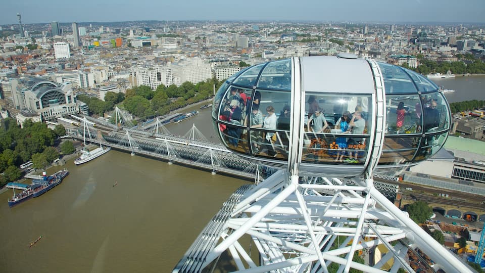
Fast Track London Eye Entry Ticket

City Sightseeing London Hop-On Hop-Off Bus Tour + Bookable Extras

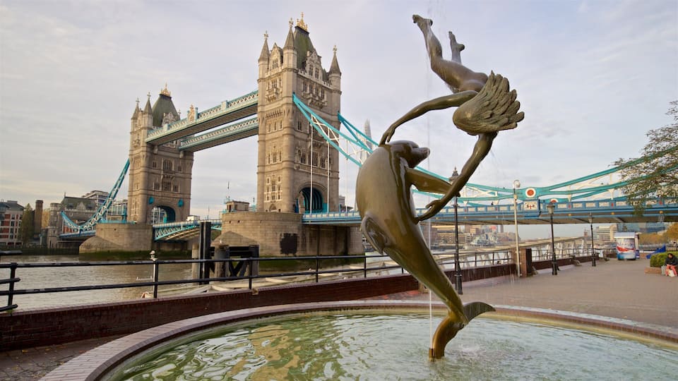
Tower Bridge Admission Tickets

Shrek's Adventure! London Tickets
Top hotels in Gooshays

Otherwander Soho Pod Hotel (ADULTS ONLY)

a&o London Docklands Riverside
"Well, we chose this hotel because it’s conveniently located near the ferry, waterfront, and another side of London. Unlike typical hostels, we were given our own room. The room was comfortable, but the bed had a spiral mattress instead of a foam mattress, which we’ve never had since childhood. The ..."
Reviewed on 29 Jul 2026

Strand Palace Hotel
"Lovely hotel very clean and great staff."
Reviewed on 31 Jul 2026

Park Plaza London Westminster Bridge
"We stayed here for one night for my daughter's birthday. The location is brilliant for various sightseeing activities and we got a cab to the West End for a show. The hotel was really lovely and the staff very helpful. They had accidentally left a complimentary bottle of fizz in the room for someone ..."
Reviewed on 31 Jul 2026

STG Hotel London Oxford Street
"Is too noisy at night, there are all kinds of parties happening in the rooms without respect for other guests. There are also sexual parties happening ."
Reviewed on 31 Jul 2026

The Tower Hotel, by Thistle
"Great location, views are amazing and transport links are good. Staff all very friendly and helpful. Some money has been spent in the lobby area to modernise it and it looks fab, lots of work is going on to improve the outside area too. The breakfast is brilliant, variety of choice and quality of ..."
Reviewed on 31 Jul 2026
Where to stay in Gooshays
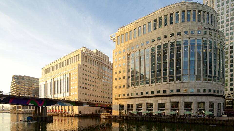
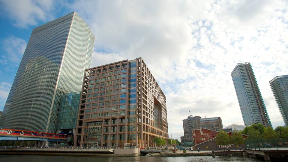
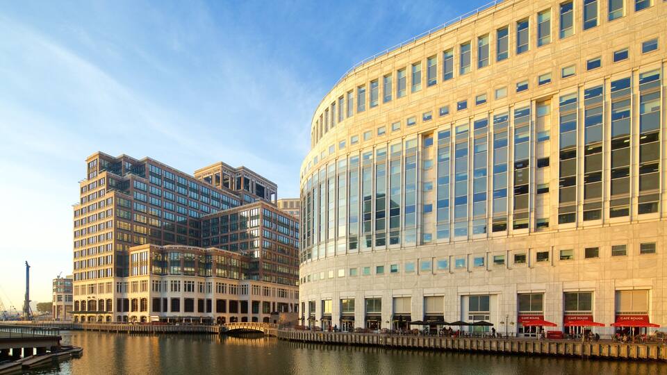
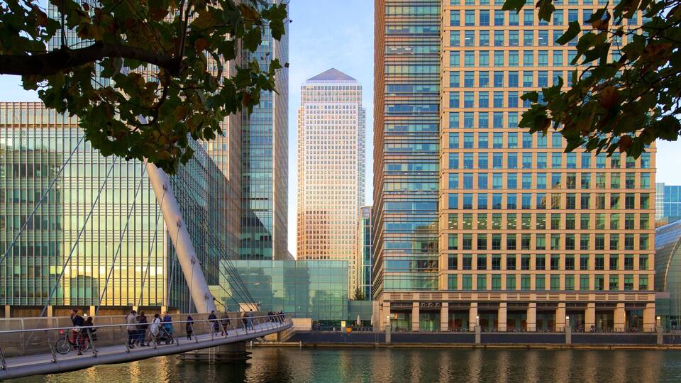
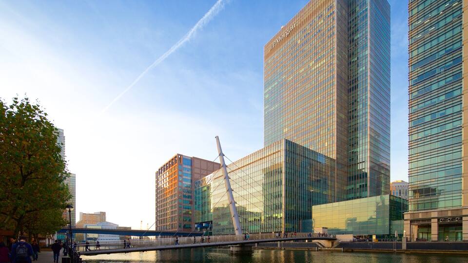
Canary Wharf
Canary Wharf is highly notable for its fantastic nightlife, and you might want to visit top sights like Crossrail Place Roof Garden and Museum of London Docklands. See more of London by jumping on the metro at Heron Quays DLR Station or Canary Wharf Underground Station.
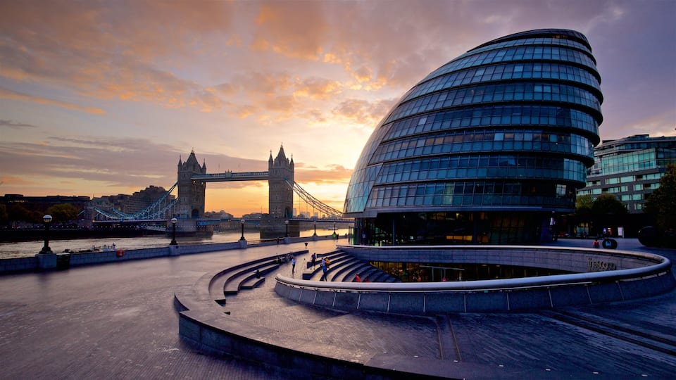
London City Centre
Known for its fascinating museums, stunning river views and acclaimed art galleries, there's plenty to explore in London City Centre. Top attractions like Trafalgar Square and Piccadilly Circus are major draws. Catch the metro at Charing Cross Underground Station or Leicester Square Underground Station to see more of the city.

City of Westminster
Big Ben and Trafalgar Square are a few top attractions in City of Westminster. Hop around the city on the metro at St. James's Park Underground Station or Victoria Underground Station and check out the area's fascinating museums, popular shops and acclaimed art galleries.
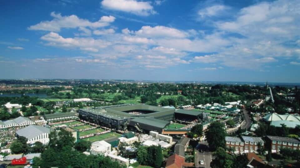
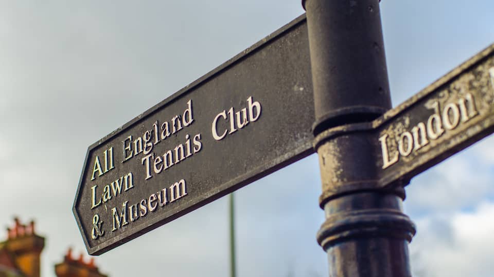
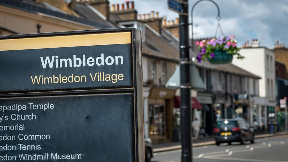
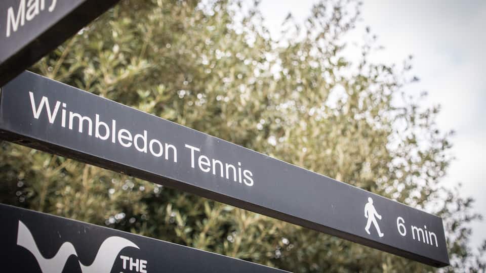
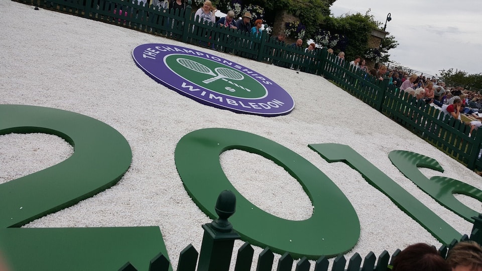
Wimbledon
You might enjoy the theatres while in Wimbledon. Wimbledon Village Stables is a notable sight, and you can get around town at Dundonald Road Tram Station or Wimbledon Underground Station to see more of the city.

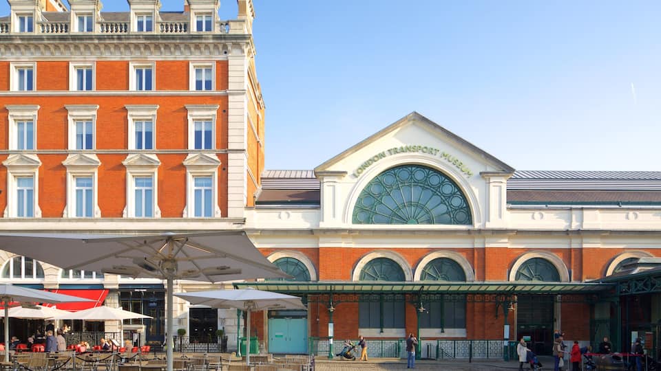


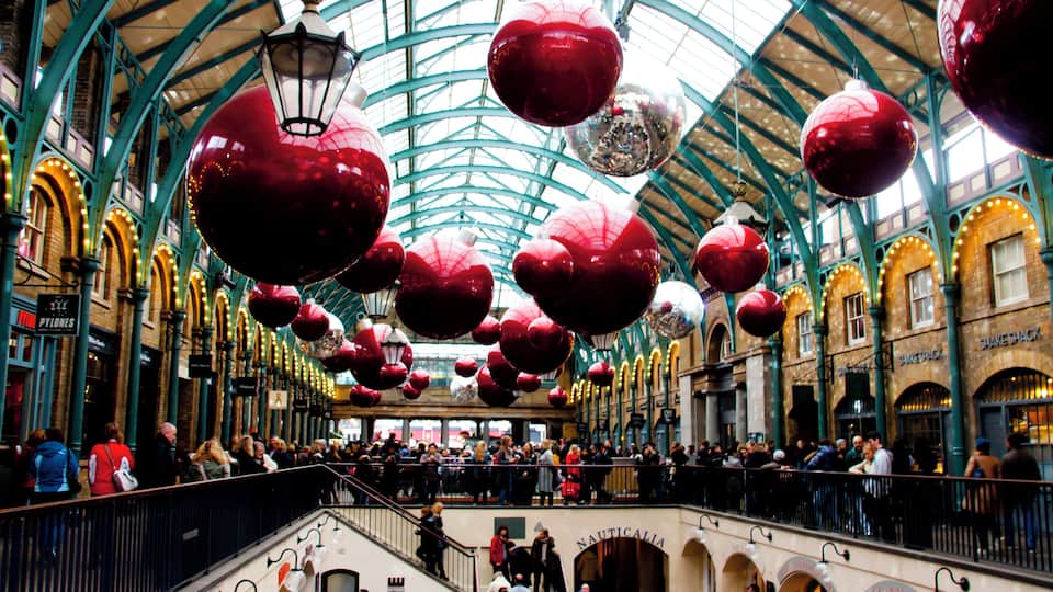
Covent Garden
The lively bars and colourful gardens are just a few top-rate features of the neighbourhood. Make a stop by Covent Garden Market or London Transport Museum while you're visiting, and jump aboard the metro at Covent Garden Underground Station to get around town.

