
Winster Travel Guide
Tourist Guide
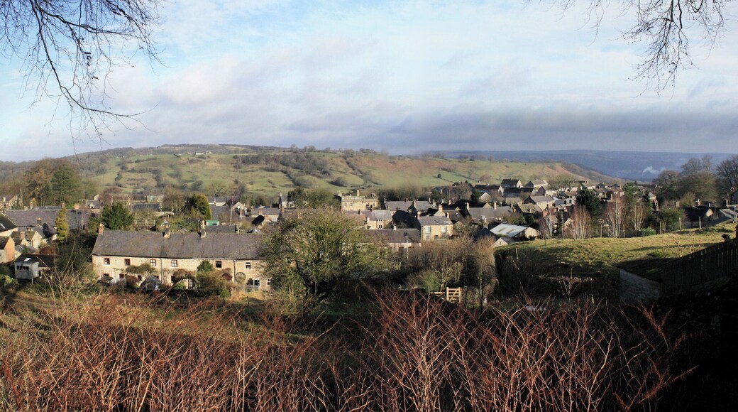


Visit Winster

mour Hotel
Lake View Drive, Sherwood Park Nottingham England
The price is ฿3,550 per night from 13 Aug to 14 Aug
฿3,550
฿4,260 total
13 Aug - 14 Aug
includes taxes & fees
Stay at this luxury hotel in Nottingham. Enjoy free Wi-Fi, free parking and breakfast (surcharge). Popular attractions Felley Priory Gardens and Newstead Abbey ...
8/10 Very good! (1,003 reviews)
"Lovely hotel. Happy with the service"
Reviewed on 29 Jul 2026

Radisson Blu Hotel, Sheffield
Pinstone Street, 30 Sheffield England
The price is ฿3,679 per night from 23 Aug to 24 Aug
฿3,679
฿4,415 total
23 Aug - 24 Aug
includes taxes & fees
Stay at this business-friendly hotel in Sheffield. Enjoy a 24-hour fitness centre, a 24-hour front desk and a business centre. Popular attractions Utilita Arena ...
9/10 Wonderful! (816 reviews)
"Clean and quiet. Good location"
Reviewed on 29 Jul 2026

Buxton Crescent
The Crescent Buxton England
The price is ฿6,689 per night from 24 Aug to 25 Aug
฿6,689
฿8,027 total
24 Aug - 25 Aug
includes taxes & fees
Stay at this luxury hotel in Buxton. Enjoy free breakfast, free Wi-Fi and valet parking (surcharge). Our guests praise the breakfast and the helpful staff in ...
9.2/10 Wonderful! (1,014 reviews)
"A beautiful hotel with a lovely spa and swimming pool. The restaurant was delicious and breakfast exceptional"
Reviewed on 29 Jul 2026
Lowest nightly price found within the past 24 hours based on a 1 night stay for 2 adults. Prices and availability subject to change. Additional terms may apply.

For Students Only Redvers Towers Sheffield
3 Union St Sheffield England
Stay at this apartment in Sheffield. Enjoy free Wi-Fi, laundry facilities and concierge services. Popular attractions Utilita Arena Sheffield and Peace Gardens ...
6.6/10 (7 reviews)
"Ideal central position for getting around. No onsite staff. I expected the accomodation to be basic but was disappointed with several aspect however I don't know if they were representative of all rooms. Gaps in flooring, no tea towel, lights turned off every 30 mins, tv stored on top of cupboard ..."
Reviewed on 1 May 2026

KSpace @ The Point
1 Division Lane Sheffield England
Stay at this apartment in Sheffield. Enjoy free Wi-Fi, in-room washers/dryers and housekeeping. Popular attractions Utilita Arena Sheffield and Peace Gardens ...
9.4/10 Exceptional! (89 reviews)
"Great location for central sheffield and the crucible theatre."
Reviewed on 29 Jul 2026

Corner House in Sheffield
36 Edward St Sheffield England
Stay at this apartment in Sheffield. Enjoy free Wi-Fi, a 24-hour front desk and laundry facilities. Popular attractions Utilita Arena Sheffield and Kelham Island ...
Lowest nightly price found within the past 24 hours based on a 1 night stay for 2 adults. Prices and availability subject to change. Additional terms may apply.
Things to do

Idyllic England: Derbyshire & the Peak District from Manchester
฿3,260
per adult
90% of travellers recommend

Lost in Beauty: Chatsworth & Peak District from Manchester
฿5,257
per adult


