
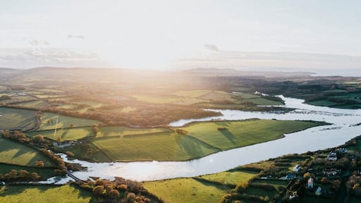
Newcastle Travel Guide
Tourist Guide

Visit Newcastle

The Feathers Hotel
"Location is the best, central to everything. Relaxing lounge rooms to have a drink. The restaurant was a bit faulty towers but the food was very nice. Good fan provided in room which is needed during warm weather. Friendly staff, unique old building, would stay there again. Ludlow is a very nice ..."
Reviewed on 15 Jun 2026

The Royal Oak Hotel, Welshpool, Mid Wales
"Clean room comfortable bed. Tea coffee and biscuits provided and bottled water by bedside. Didn’t eat at hotel as out and didn’t book Breakfast as only staying one night. Pleasantly surprised and can see hotel has been refurbished. Would stay again if needed room in that area. More information could ..."
Reviewed on 21 Jun 2026

The Talbot Hotel
"Very clean room, very comfy, the bed was a disappointment as it was two small singles pushed together to make a double which wasn't very comfortable, the food however and staff were excellent couldn't fault either, mind your head though on the low beams they hurt a lot"
Reviewed on 14 Jun 2026

Apartment - Sleeps 2 - Pet Friendly - Parking
"Lovely little apartment, dog friendly in the centre of Ludlow. Spotlessly clean. Would stay again."
Reviewed on 12 Jun 2025

Long Mountain Centre
"The cabin was warm and comfortable It was well equiped. The road getting to it was narrow but manageable with care. The road surface was good. The view from the front was amazing. We enjoyed our stay very much."
Reviewed on 14 May 2026

Green Dragon and Kitchen Pod - Sleeps 2 & Parking
"Seriously unimpressed by the lack of help and assistance from the host to cancel, with nearly a weeks notice prior to our intended stay. We also found that some of the information provided on the property listing at the time of booking to be somewhat questionable, suggesting a cabin size of 215 sq ..."
Reviewed on 17 Jun 2026
Popular places to visit

Stokesay Castle
Stokesay Castle is just one of the places to see in Craven Arms, so why not enjoy the other things to explore during your travels? Visit the lively bars or top-notch restaurants in this relaxing area.
Shropshire Hills Discovery Centre
You can study the exhibits at Shropshire Hills Discovery Centre, a museum with a storied past, during your travels to Craven Arms. Visit the lively bars or top-notch restaurants in this relaxing area.
Clun Castle
Learn about the local history of Clun with a stop at Clun Castle. Visit the spas and top-notch restaurants in this relaxing area.
Museum of Clun
You can spend an afternoon browsing the exhibits at Museum of Clun during your travels in Clun. Amble around the area's riverfront or experience its festivals.
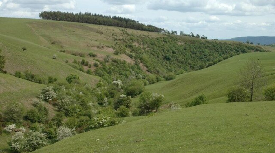
Millennium Green
Explore the great outdoors at Millennium Green, a lovely green space in Newcastle. While in this quaint area, you can savour the top-notch restaurants.
Land of the Lost Content Museum
You can browse the exhibits at Land of the Lost Content Museum, a museum with a story of its own, during your holiday in Craven Arms. Visit the lively bars or top-notch restaurants in this relaxing area.

